City of Sierra Vista
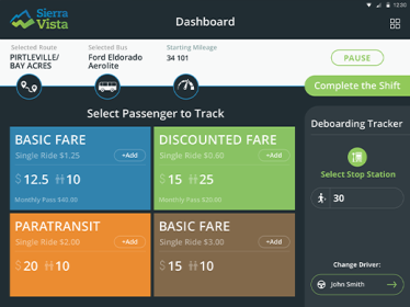
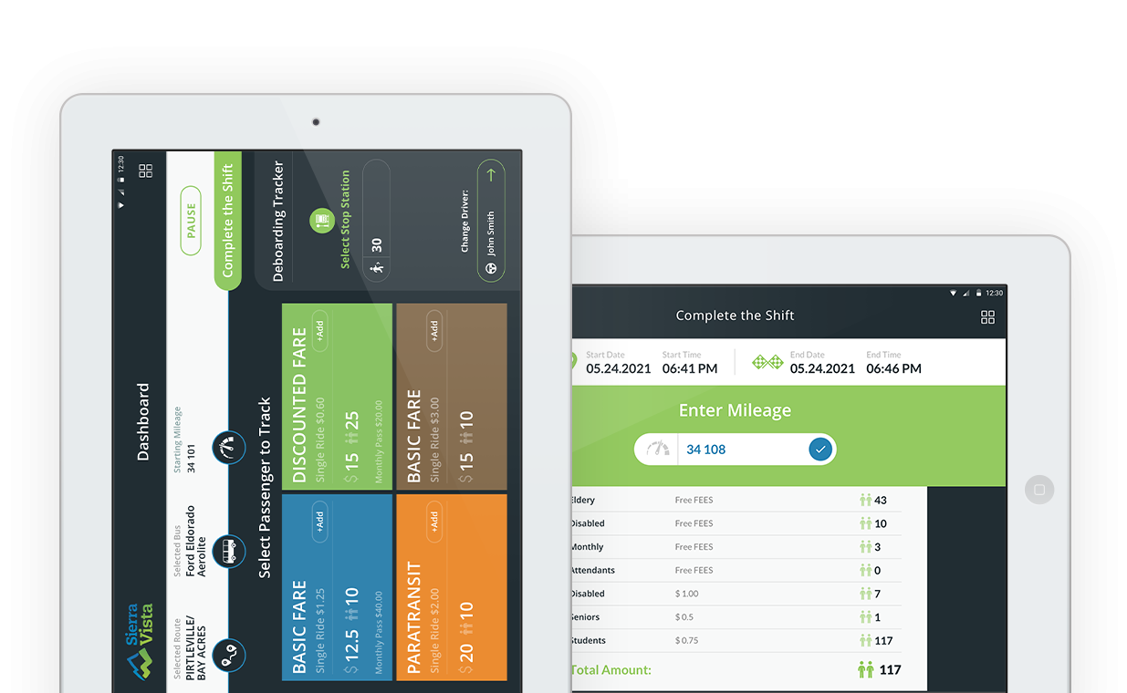
The transportation app developed for the City of Sierra allows city transportation drivers to track the meta demographics of the citizens that use public transit. The app uses device GPS to track and store route length, stops, accuracy, and mileage traveled. Drivers can scan rider’s transit pass using a QR code reader built into the app. All data is synced and saved to a secure Content Management System. Vehicle locations are plotted on a Google map and tracked in realtime from the CMS.
App Feature List:
- Native Android version
- Real-time GPS map tracking on Google Maps
- QR code scanning
- Extensive custom reporting
- Mileage tracking
- Offline data sync
- Boarding and deboarding demographic tracker
- Native tablet design
- Digital inspection logging with photo upload capability


